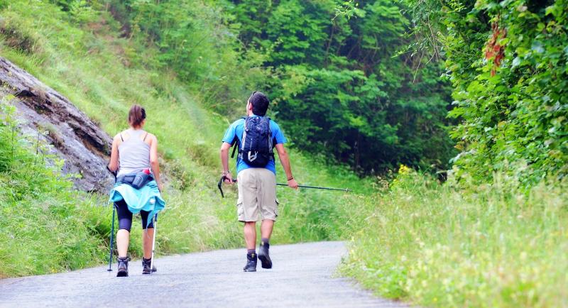
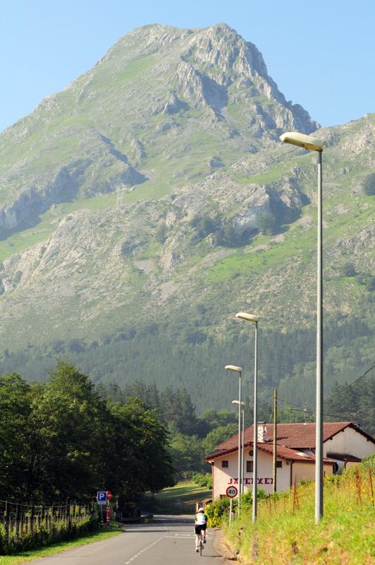
This route will take us to a mountain which for us is mythical: Anboto. We will circle this mountain passing through the Natural Park of Urkiola, and in this way really enjoy the mountain close up.
We depart from the Basilica of Santa María of Uribarri in Durango and go towards the Ikastola Ibaizabal. From there, leaving the Ikastola behind us, we take a very steep hill in the direction of the village of Artazola.
We take a small road on the right (km2.2) that runs parallel with the main road BI-632. We arrive at some modern houses in Abadiño, which we skirt on the upper side, until we reach a factory (km 3.8). Here we take an old Roman road going up-hill and this takes us out onto the Mendiola road (km 4.5). Here we turn right and go up-hill, passing Mendiola and go straight on, passing by on the left the road that would take you to the village of Sagasta. A little further on we come to the quarries of Atxarte (km 7.2). Straight on, following the track, we pass over a bridge and a short but very steep hill. We now enter a forest trail with a slight hill, passing on our right a track that leads to a farmhouse. Later we come to a right-hand bend with two farmhouses on the left. The terrain becomes steeper and steeper, and we pass on the left the the road that would take us to Asuntze (Pol-Pol). The climb ends with a bend of 180º (km 10.5). On this last bit we will find a fountain. From here on, the road is very easy and we will have the opportunity to marvel at the mountain views of Anboto, Alluitz and Astxiki.
We get to Txakurzulo (km 12.8) and we take the main road BI-623 to Urkiola (km 14). Once there, we leave the main road and take a smaller road on the left.
On the right we see the Sanctuary of Urkiola and on the left a shelter and a fountain. Leaving the car park on the left, we follow the track that goes up-hill. We get to the opening of Asuntze (Pol-Pol), and there (km 17.8) we find an iron fountain.
We continue on, leaving on our left the Anboto range and, after about 500m, after a steep hill we come to a junction. We take the road on the right towards Zabalandi. On arriving at the open fields of Zabalandi (km 20) we go straight on and begin a long down-hill trek to Besaide.
When we get to the sign boards we go straight on towards Tellamendi, that is to say, we continue down the same track.
We soon come to a small field and we continue on down on a gravel track. On arriving at a junction without any signs, we turn to the left and up-hill (km 22.2). On our left we pass a shack and two paths. When we get to an opening we take a small path on the left (km 23.2).
We come to a wood, and we will find a lovely track of stones and leaves and roots.
Continuing along this route, we pass by a shelter on the left. At about km 25.5 we come to a junction with three options, and we take the middle road in the direction of Besaide. From here we go to Besaide (km 26.9). Besaide is the point at which Bizkaia, Álava and Gipuzkoa meet. Once there, we take the road on the left. Following this track we take the path on the left (km 28.6), otherwise we would end up in Elorrio. Therefore, after a long down-hill stretch we come to the main road BI-4332.
Turning to the right, we arrive at Apatamonasterio, and finally we take the BI-632 that takes us back to Durango.


